Big Sioux River Bank Stability Project

In 2007, scientists from the National Sedimentation Laboratory in Oxford, Mississippi collected geotechnical data from five areas along the Big Sioux River near Castlewood, Bruce, Brookings, Egan, and Renner. Bank erodibility data was used to populate the bank stability and toe erosion computer models. The river channel from Castlewood to Renner was aerially filmed.
Using the Bank-Stability and Toe-Erosion Model (BSTEM) it was determined that approximately 25% of stream loading was coming from the river's banks. Toe protection and establishing vegetation along the banks were recommended. Work on stabilizing the Big Sioux River's banks began in and around the City of Sioux Falls. The City of Sioux Falls had previously received funds from the state to implement Best Management Practices and thought it would be beneficial to use some of the money to protect areas of the river above their drinking water intakes.
Prioritizing critical sites were determined by the percentage of the outside bend of the river bank that was failing, results of a rapid geomorphic assessment, the proximity to Sioux Falls, ease to complete the site, and willingness of the landowner.
Stabilization projects were underway in 2010 and continue today.

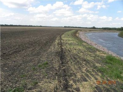
Site Before

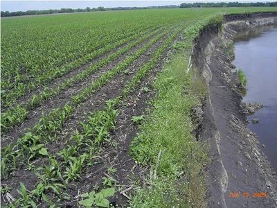
Site After
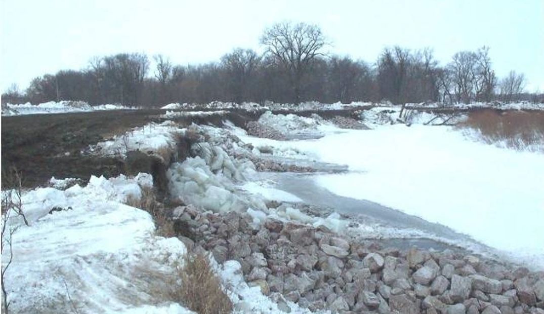
Example of Constructed Spurs
Site Before